H & M RV Park Private
Private RV park, listed in OpenStreetMap, near Axton, Virginia.
Summary
Located about 46 miles (straight line) from Roanoke, H & M RV Park is a private RV park. According to OpenStreetMap, the park has electric hookups; it is tagged as having no laundry.
Hookups & amenities
- 🚿ShowersNot listed
- 🚻ToiletsNot listed
- 🚰Drinking waterNot listed
- ⚡Electric hookupsListed
- 💧Water hookupsNot listed
- 🔧Sewer hookupsNot listed
- 🔌Full hookups (E/W/S)Not listed
- 🚐Dump stationNot listed
- 📶Wi-FiNot listed
- 🧺LaundryNo (per OpenStreetMap)
- 🏪Camp storeNot listed
- 🛝PlaygroundNot listed
- 🏊SwimmingNot listed
- 🚤Boat rampNot listed
- 🐕Pet-friendlyNot listed
- ♿ADA-accessible sitesNot listed
- 🛖CabinsNot listed
- 🔥Fire ringsNot listed
- 🍖GrillsNot listed
- 🪑Picnic tablesNot listed
- 🧑Camp hostNot listed
- 🐻Food storage lockersNot listed
Listed only when OpenStreetMap report it. "Not listed" means the source doesn't say, not that the campground lacks it.
RV details from OpenStreetMap
| Electric | Yes |
|---|---|
| Laundry | No |
| Opening hours | 24/7 |
Map: trails and roads near H & M RV Park
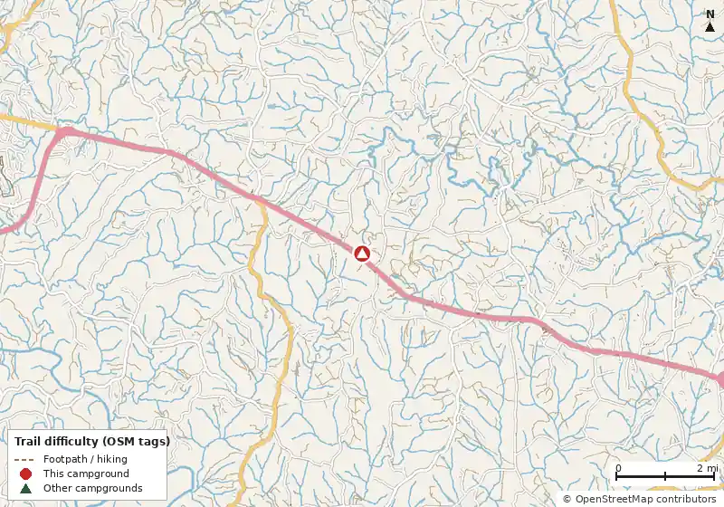
Loads MapLibre with OpenFreeMap tiles only when you tap.
How it compares
- There are 7 other campgrounds in our data within 25 miles.
- Electric hookup sites are available.
- Straight-line distance: Roanoke ~46 mi, Blacksburg ~58 mi, Lynchburg ~61 mi.
Amenities & rules
The agency hasn't published an amenity list for this campground.RVs/trailers
Trails within 5 miles
No named Forest Service or National Park Service trails are mapped within 5 miles. Trails on state, county or Corps of Engineers land aren't in these datasets.
Mountain biking nearby
No bike-legal trails are mapped within 5 miles in OpenStreetMap or Forest Service data.
Ratings come only from OpenStreetMap mtb:scale / IMBA tags. Untagged trails show as "Unrated", and we never guess. Check conditions and maps on Trailforks or MTB Project.
Dump stations near H & M RV Park
No standalone dump station is mapped in OpenStreetMap within 25 miles.
Straight-line distances. Dump station points: © OpenStreetMap contributors (ODbL); fees, hours and access change, so confirm before you go.
Nearest campgrounds
| Campground | Miles | State | Fee/night | Sites | Hookups | Max RV | Pets | Booking | Trails ≤5 mi |
|---|---|---|---|---|---|---|---|---|---|
| North Lot Camping Area OpenStreetMap listing |
9.7 | VA | — | — | — | — | — | ? | 0 |
| Paradise Lake and Campground Private campground |
19.1 | VA | — | — | — | yes | — | ? | 0 |
| Mayo River State Park Campground Mayo River State Park |
20.9 | NC | $20–$45 (NC schedule) | — | — | — | yes | Reserve | 0 |
| Philpott Park Philpott Lake |
22.2 | VA | — | — | — | — | — | Reserve | 0 |
| Salthouse Branch Philpott Lake |
23.5 | VA | — | 110 | E 50A W | 95 ft | yes | Reserve | 0 |
| Smith Mountain Campground Private campground |
23.6 | VA | — | — | — | yes | — | ? | 0 |
Hookups: E = electric (max amps), W = water, S = sewer. "—" means the agency doesn't publish it. Trail counts are named USFS/NPS trails within 5 miles. 🟢 = kid-friendly (green-rated) bike trail nearby.