NAS Patuxent River Campgrounds (Goose Creek, Hogs Point, Paradise Grove)
Military campground (Navy) on NAS Patuxent River, near Lexington Park, Maryland. Not open to the general public: see who can use military campgrounds.
Facts from the official page
- Goose Creek
- 14 water/electric sites for RVs 30–40 ft, plus 20 primitive tent/RV sites (some waterfront). Comfort station. Book at 301-342-3573 (West Basin Marina), 1-877-NAVY-BED or DoD Lodging. source
- Hogs Point and Paradise Grove
- 4 and 12 primitive campsites; reserve on Recreation.gov. source
- Season
- All three campgrounds are open year-round. source
- Base access
- A valid eligibility ID card is needed to check in or enter. Overnight unaffiliated guests and veterans must submit the SECNAV 5512 form before arriving. source
Unverified, call ahead
- Goose Creek rates are not shown in text on the official page.
We could not confirm these on an official page, so we leave them blank rather than guess. Call 301-342-3573.
If you don't have a DoD ID card
Under the 2020 expanded-access rule (32 CFR 225.4), veterans with a VA service-connected disability rating, Purple Heart recipients, former POWs and VA-designated primary family caregivers may use MWR recreational lodging and RV campgrounds. To get on a base, enroll at the installation's visitor center on your first visit, using a VHIC or REAL ID and passing an on-the-spot background check. At check-in, show a VHIC that lists your eligibility status, or a VA letter plus REAL ID. Guests can travel with you but must clear the visitor center themselves (DoD transition plan, Feb 2026).
Full guide: who can use military campgrounds →
Map: trails and roads nearby
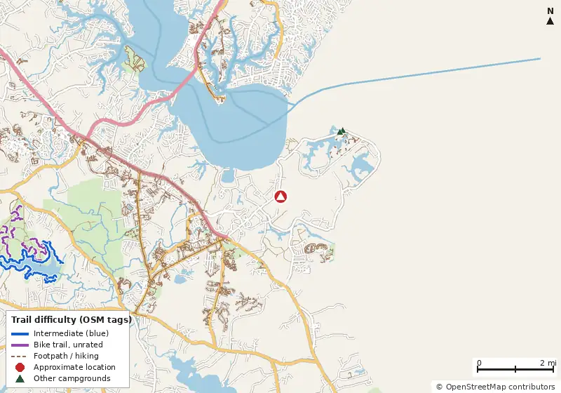
Loads MapLibre with OpenFreeMap tiles only when you tap.
Trails nearby (from our data)
No named bike-legal trails are mapped in OpenStreetMap within 5 miles of the pin.
On this site
- Pax River Hog Point Campgrounds (our campground page for one of these sites)
- Pax River Paradise Grove Campgrounds (our campground page for one of these sites)
Public campgrounds nearby
These are open to everyone, in case you aren't eligible or the military campground is full.
| Campground | Miles | State | Fee/night | Sites | Hookups | Max RV | Pets | Booking | Trails ≤5 mi |
|---|---|---|---|---|---|---|---|---|---|
| Pax River Paradise Grove Campgrounds Naval Airstation (NAS) Patuxent River |
2.3 | MD | — | 12 | — | — | yes | Reserve | 0 |
| Pax River Hog Point Campgrounds Naval Airstation (NAS) Patuxent River |
2.4 | MD | — | 4 | — | — | yes | Reserve | 0 |
| Take It Easy Campground Private Private RV park |
6.0 | MD | — | — | E | yes | — | Reserve | 0 |
| La Grande Resort RV Private campground |
9.7 | MD | — | — | — | yes | — | ? | 0 |
| Matoaka Beach Cabins Cabins OpenStreetMap listing |
13.4 | MD | — | — | — | — | — | Reserve | 0 |
| Coles Point Marina and RV Resort Private Private RV park |
14.3 | VA | — | — | E | yes | — | Reserve | 0 |
Hookups: E = electric (max amps), W = water, S = sewer. "—" means the agency doesn't publish it. Trail counts are named USFS/NPS trails within 5 miles. 🟢 = kid-friendly (green-rated) bike trail nearby.