Best campgrounds for mountain biking in Georgia
Ranked by miles of difficulty-rated mountain bike trail within 5 miles of the campground, then by total bike-legal miles.
129of 251 campgrounds have bike-legal trail within 5 mi
28have difficulty-rated MTB trail nearby
16have green (kid-friendly) trail nearby
Difficulty legend: Family/Beginner (green)Intermediate (blue)Expert (black / double black)Unrated (no tag). Ratings come from OpenStreetMap
mtb:scale:imba (preferred) or mtb:scale. How we map them.| # | Campground | Rated MTB mi | All bike mi | Difficulty mix (mi) | Closest named trails | Fee |
|---|---|---|---|---|---|---|
| 1 | 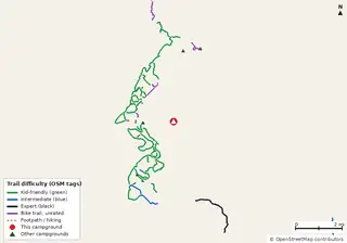 Gladesville Campground US Forest Service |
36.2 | 53.2 | 32.12.02.117.0 | Black Rock Trail (1.1 mi); Mothershed Ridge (1.1 mi); Horsefly Highway (1.3 mi) | Free |
| 2 | 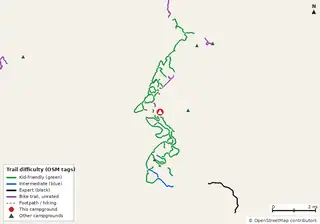 Saddlehorse Campground Private campground |
35.4 | 52.4 | 32.12.01.317.0 | Mothershed Ridge (0.2 mi); Parachute Trail (0.3 mi); Peggy's Path (0.3 mi) | — |
| 3 | 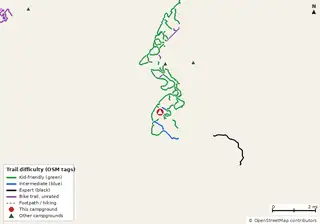 Ocmulgee Flats Camp US Forest Service |
33.1 | 46.8 | 28.62.02.513.7 | Flats Connector Trail (0.0 mi); Beck Bluff Loop (0.0 mi); Beck Ridge Trail (0.0 mi) | — |
| 4 | 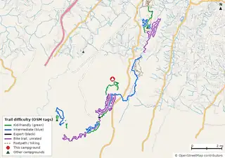 Durham Backcountry Campsite Lula Lake Land Trust |
26.9 | 61.3 | 10.316.30.334.4 | Durham Backcountry Campsite (0.0 mi); Chalkeye Loop (0.2 mi); Cut Thru Trail (0.2 mi) | — |
| 5 | 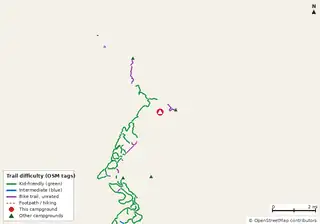 Rush Creek Campground Private campground |
24.8 | 40.6 | 24.815.8 | Rush Creek Trail (0.4 mi); Wise Creek Trail (0.6 mi); Kinard Creek Trail (1.1 mi) | — |
| 6 | 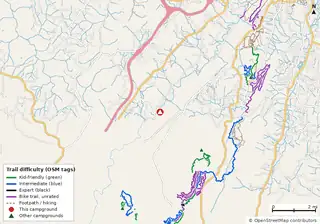 LMFP Campground Lookout Mountain Flight Park |
23.0 | 47.9 | 8.714.00.324.9 | Durham Backcountry Campsite (2.6 mi); DC and C (2.8 mi); Chalkeye Loop (2.8 mi) | — |
| 7 | 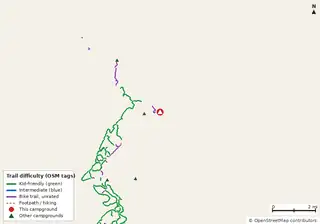 Horse Campground Private campground |
22.2 | 37.1 | 22.214.9 | Rush Creek Trail (0.0 mi); Wise Creek Trail (1.2 mi); Kinard Creek Trail (1.6 mi) | — |
| 8 | 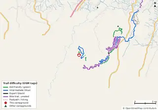 Cloudland Canyon State Park Campground Georgia State Parks & Historic Sites (Georgia DNR) |
18.1 | 43.8 | 8.29.60.325.7 | Walk-in Campsite Trail (0.0 mi); Cabin 16 (0.3 mi); West Rim Loop Trail (0.3 mi) | $23–$50 (GA schedule) |
| 9 | 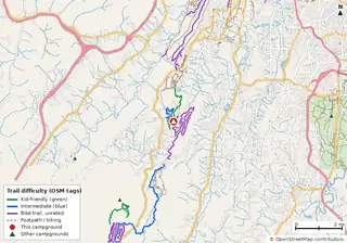 Moonshine Campsite Lula Lake Land Trust |
14.5 | 34.8 | 6.28.320.3 | Moonshine Campsite Connector (0.0 mi); Cloudland Connector Trail (0.1 mi); White Lightning (0.1 mi) | — |
| 10 | 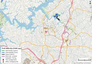 Payne Campground-allatoona Lake U.S. Army Corps of Engineers |
14.3 | 17.7 | 1.97.35.13.4 | Dwelling Loop (Intermediate) (2.8 mi); South Loop (Advanced) (2.8 mi); Rock & Roll (2.8 mi) | $22–$64 |
| 11 | 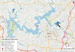 Victoria Campground U.S. Army Corps of Engineers |
14.3 | 14.5 | 1.97.35.10.2 | Dwelling Loop (Intermediate) (3.6 mi); Chutes and Ladders (3.6 mi); Rock & Roll (3.7 mi) | $28–$32 |
| 12 | 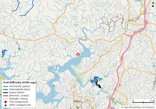 Sweetwater Campground U.S. Army Corps of Engineers |
14.3 | 14.3 | 1.97.35.1 | Van Michael Trail (Advanced) (2.7 mi); Mosquito Bite (Beginner+) (2.8 mi); Dwelling Loop (Intermediate) (2.8 mi) | — |
| 13 | 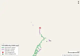 Concord Campground USFS |
11.7 | 21.9 | 11.710.2 | Kinard Creek Trail (0.1 mi); Kinnard Creek Trail (0.1 mi); Suds Path (1.4 mi) | — |
| 14 | 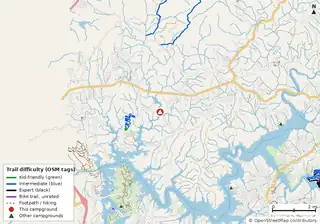 Upper Stamp Creek Campground United States Army Corps of Engineers |
10.5 | 10.8 | 1.39.20.3 | Toona Trace (1.2 mi); Wagon Wheel (1.5 mi); Stamp Creek Falls (1.5 mi) | — |
| 15 | 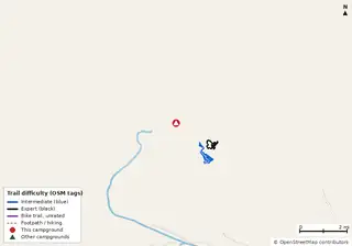 Camp David RV Resort Private RV park |
9.4 | 9.4 | 6.82.6 | Ft. Moore MTB Trail (1.3 mi); Stowers MTB Loop (1.5 mi) | — |
| 16 | 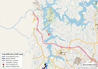 Allatoona Landing Marine Resort Campground Private campground |
6.1 | 6.8 | 3.03.10.7 | Driftwood (4.4 mi); Hocus Pocus (4.4 mi) | — |
| 17 | 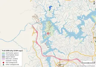 Red Top Mountain State Park Campground Georgia State Parks & Historic Sites (Georgia DNR) |
5.8 | 6.3 | 1.34.50.5 | Field School (3.6 mi); Etowah Echo (3.6 mi); Chitwood Climb (3.7 mi) | $23–$50 (GA schedule) |
| 18 | 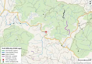 Wildcat Lodge & Campground Private campground |
2.2 | 11.6 | 0.21.99.4 | Burnett Creek Connector (3.1 mi); Cemetery Ridge (3.6 mi); Burnett Creek Trail (3.6 mi) | — |
| 19 | 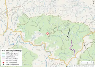 Cooper Creek Campground USDA Forest Service |
2.2 | 10.7 | 0.21.98.5 | Burnett Creek Trail (3.2 mi); Benton Mackaye (3.5 mi); Cemetery Ridge (3.9 mi) | $15–$30 |
| 20 | 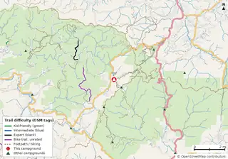 Lake Winfield Scott Campground United States Forest Service |
1.9 | 5.4 | 1.93.5 | Appalachian Trail (0.7 mi); Burnett Creek Connector (1.7 mi); Cemetery Ridge (1.8 mi) | — |
| 21 | 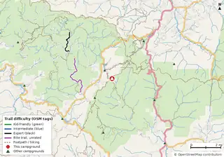 Jarrard Gap Campsite |
1.9 | 5.4 | 1.93.5 | Appalachian Trail (0.0 mi); Burnett Creek Connector (2.0 mi); Cemetery Ridge (2.4 mi) | — |
| 22 | 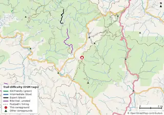 Lance Creek Campsite |
1.9 | 5.4 | 1.93.5 | Appalachian Trail (0.1 mi); Burnett Creek Connector (1.0 mi); Cemetery Ridge (2.2 mi) | — |
| 23 | 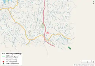 Talona Creek Campground Private RV park |
1.3 | 2.0 | 1.30.7 | — | |
| 24 | 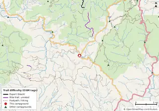 Two Wheels of Suches |
0.8 | 8.9 | 0.88.1 | Appalachian Trail (1.1 mi); Burnett Creek Connector (2.2 mi); Cemetery Ridge (3.4 mi) | — |
| 25 | 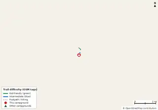 Reed Bingham State Park Campground Georgia State Parks & Historic Sites (Georgia DNR) |
0.8 | 0.8 | 0.30.5 | Gopher Tortoise Trail (0.1 mi); Little River Trail (0.5 mi) | $23–$50 (GA schedule) |
| 26 | 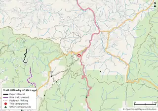 Vogel State Park Campground Georgia State Parks & Historic Sites (Georgia DNR) |
0.5 | 3.5 | 0.53.0 | Appalachian Trail (1.6 mi); Cemetery Ridge (4.7 mi); Burnett Creek Connector (4.8 mi) | $23–$50 (GA schedule) |
| 27 | 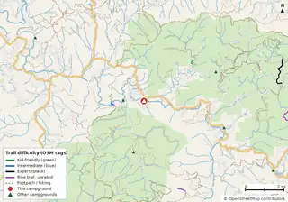 Deep Hole Recreation Area USDA Forest Service |
0.5 | 0.8 | 0.30.20.3 | Benton MacKaye & Duncan Ridge Trail (1.6 mi); dirt bike trail (4.8 mi); ford (4.9 mi) | $15 |
| 28 | 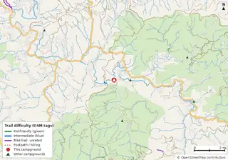 Hawk Mountain (Base) Campsite |
0.5 | 0.5 | 0.30.2 | Benton MacKaye & Duncan Ridge Trail (0.5 mi) | — |
| 29 | 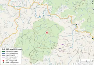 Frank Gross Campground USDA Forest Service |
0.2 | 9.4 | 0.29.1 | Appalachian Trail (2.5 mi); Benton MacKaye & Duncan Ridge Trail (2.7 mi); dirt bike trail (3.0 mi) | $8 |
| 30 | 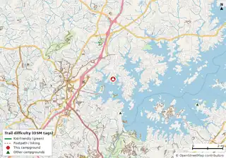 Bald Ridge Creek U.S. Army Corps of Engineers |
0.2 | 0.2 | 0.2 | Central Park (2.5 mi) | — |
| 31 | 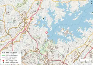 Sawnee U.S. Army Corps of Engineers |
0.2 | 0.2 | 0.2 | Central Park (4.8 mi) | — |
| 32 | 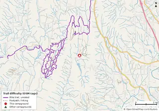 Pocket Campground USDA Forest Service |
0.0 | 44.5 | 44.5 | Wheat (1.7 mi); Pinhoti Trail (2.0 mi); Pinhoti (2.0 mi) | $15 |
| 33 | 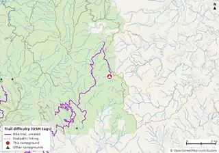 Jacks River Fields Campground USDA Forest Service |
0.0 | 39.0 | 39.0 | South Fork Trail (0.1 mi); Benton Mackaye (0.4 mi); South Fork (0.5 mi) | $5 |
| 34 | 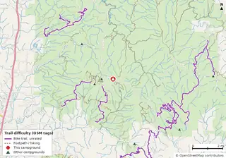 Ball Field Group Camping Area |
0.0 | 37.5 | 37.5 | Tibbs (0.9 mi); Windy Gap (1.4 mi); Milma Creek Atv (1.7 mi) | — |
| 35 | 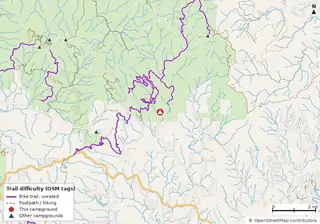 Bear Creek Campground United States Forest Service |
0.0 | 37.1 | 37.1 | Pinhoti Trail (0.5 mi); Mountaintown Creek (0.5 mi); Bear Creek (0.5 mi) | Free |
| 36 | 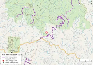 Mulberry Gap mountain bike getaway |
0.0 | 36.1 | 36.1 | Pinhoti Trail (0.3 mi); Bear Creek Spur (2.4 mi); Tibbs (2.7 mi) | — |
| 37 | 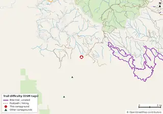 Amicalola Mountain |
0.0 | 35.8 | 35.8 | Appalachian Approach Trail (0.1 mi); Saddle Back Trail (2.6 mi); Bare Hare Trail (2.6 mi) | — |
| 38 | 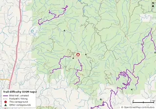 Lake Conasauga Campground USDA Forest Service |
0.0 | 29.7 | 29.7 | Tibbs (0.4 mi); Windy Gap (0.7 mi); Milma Creek Atv (1.3 mi) | $15 |
| 39 | 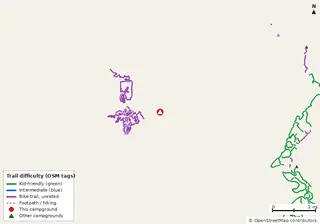 Indian Springs State Park Campground Georgia State Parks & Historic Sites (Georgia DNR) |
0.0 | 27.7 | 27.7 | Indian Springs Connector (0.8 mi); Pine Mountain (1.1 mi); Sandy Creek (1.2 mi) | $23–$50 (GA schedule) |
| 40 | 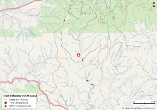 Sandy Bottoms Campground Private campground |
0.0 | 27.5 | 27.5 | Appalachian Trail (1.8 mi); Coleman River (1.9 mi); Anst - Tusquitee Rd (3.1 mi) | — |
Map thumbnails and trail data © OpenStreetMap contributors (ODbL) and USDA Forest Service (bike-allowed NFS trails, which are unrated). For trail conditions and closures, search Trailforks or MTB Project.
More
Kid-friendly bike trails near campgrounds · All campgrounds near MTB trails (filter) · All Georgia campgrounds