Best campgrounds near Atlanta, GA
171 campgrounds (federal, state park and other) lie within 100 miles (straight line) of downtown Atlanta. Ranked by our data score minus a distance penalty (0.25 pts per mile), not by ads.
Atlanta has 5 campgrounds within 25 miles and 36 within 50; widen the radius to 100 miles and the count reaches 171 (68 at 50–75 mi, 67 at 75–100 mi). The closest is Sweetwater Creek State Park Campground, about 14 miles away. Distances are straight-line; driving distances are longer, especially in the mountains.
Top picks within 50 miles of Atlanta
- Victoria Campground (31 mi): 72 sites, electric hookups up to 50 A, 14.3 mi of rated bike trail within 5 mi, reservable.
- Payne Campground-allatoona Lake (28 mi): 56 sites, full hookups, 14.3 mi of rated bike trail within 5 mi, reservable.
- Sawnee (34 mi): 60 sites, electric hookups up to 50 A, 1 named trail within 5 mi, reservable.
Best near Atlanta for…
- Mountain biking: Gladesville Campground (51 mi): 53.2 mi of bike-legal trail within 5 miles, 36.2 mi of it difficulty-rated, including 32.1 mi of green (kid-friendly) trail.
- Cabins: Sweetwater Creek State Park Campground (14 mi): the closest campground with cabins (Georgia State Parks park page); 7 campgrounds with cabins are within 50 miles.
- Big RVs: Victoria Campground (31 mi): takes rigs up to 65 ft with electric hookups up to 50 A.
Picks use our data score with a distance penalty. Every reason above comes from the campground's listed data.
Within 100 miles: 89 rv-friendly campgrounds · 74 tent campgrounds · 9 free campgrounds · 43 pet-friendly campgrounds · 21 campgrounds with water hookups · 25 campgrounds with electric hookups · 24 big-rig campgrounds (40 ft+) · 91 campgrounds near mountain bike trails · 23 campgrounds with cabins · 5 campgrounds with showers · 3 full-hookup campgrounds · 20 campgrounds with 50-amp hookups · 27 campgrounds with pull-through sites · 5 campgrounds with a dump station · 6 campgrounds with wi-fi · 88 first-come, first-served campgrounds.
| Campground | Miles | State | Fee/night | Sites | Hookups | Max RV | Pets | Booking | Trails ≤5 mi |
|---|---|---|---|---|---|---|---|---|---|
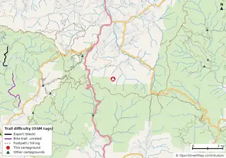 Lake Winfield Scott Recreation Area Cabins Open year-round Chattahoochee-Oconee National Forest |
74 | GA | $26–$48 | 32 | E 50A W | 40 ft | yes | Reserve | 17 (47.0 mi) |
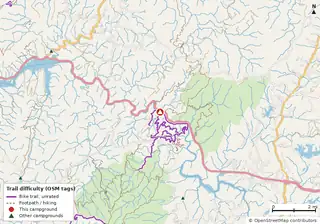 Thunder Rock Campground Cherokee National Forest |
92 | TN | $15–$20 | 38 | E 30A | yes | yes | Reserve | 26 (83.2 mi) |
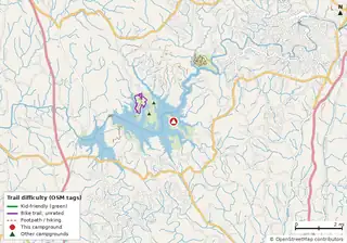 Doll Mountain Campground Carters Lake |
61 | GA | $18–$28 | 49 | E 50A W | 62 ft | yes | Reserve | 0 |
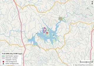 Woodring Campground Carters Lake |
62 | GA | $18–$28 | 42 | E 50A W | 40 ft | yes | Reserve | 0 |
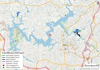 Victoria Campground Allatoona Lake |
31 | GA | $28–$32 | 72 | E 50A W | 65 ft | yes | Reserve | 0 |
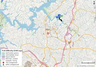 Payne Campground-allatoona Lake Allatoona Lake |
28 | GA | $22–$64 | 56 | E 50A W S | 60 ft | yes | Reserve | 0 |
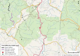 Desoto Falls Recreation Area Open year-round Chattahoochee-Oconee National Forest |
71 | GA | $20–$40 | 23 | — | 40 ft | yes | Reserve | 18 (42.7 mi) |
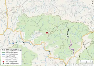 Cooper Creek Campground Open year-round Chattahoochee-Oconee National Forest |
72 | GA | $15–$30 | 25 | — | 10 ft | yes | Reserve | 7 (31.9 mi) |
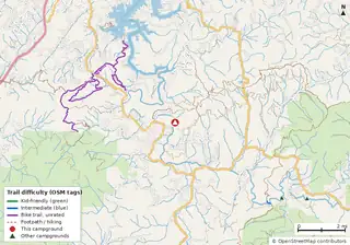 Sandy Bottoms Recreation Area Campground (Clayton, GA) Mar–Oct Chattahoochee-Oconee National Forest |
72 | GA | $15 | 12 | — | 50 ft | yes | Reserve | 12 (49.0 mi) |
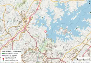 Sawnee Lake Sidney Lanier |
34 | GA | — | 60 | E 50A W | 65 ft | yes | Reserve | 1 (0.6 mi) |
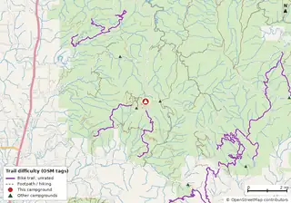 Lake Conasauga Campground Chattahoochee-Oconee National Forest |
78 | GA | $15 | 29 | W | 25 ft | yes | Reserve | 20 (63.0 mi) |
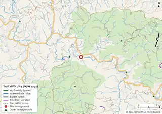 Deep Hole Recreation Area Chattahoochee-Oconee National Forest |
70 | GA | $15 | 9 | — | 30 ft | yes | Reserve | 6 (43.0 mi) |
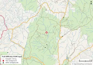 Upper Chattahoochee River Campground Mar–Oct Chattahoochee-Oconee National Forest |
80 | GA | $12 | 19 | — | 16 ft | yes | Reserve | 10 (27.5 mi) |
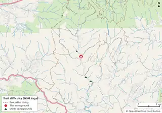 Tate Branch Campground (Clayton, GA) Mar–Oct Chattahoochee-Oconee National Forest |
96 | GA | $15 | 18 | — | 55 ft | yes | Reserve | 11 (30.8 mi) |
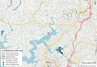 Sweetwater Campground Allatoona Lake |
33 | GA | — | 150 | E 50A W | 65 ft | yes | Reserve | 0 |
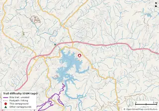 Morganton Point Open year-round Chattahoochee-Oconee National Forest |
78 | GA | $30–$50 | 41 | E 50A W S | 30 ft | yes | Reserve | 8 (6.7 mi) |
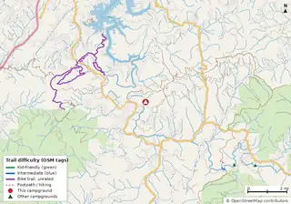 Toccoa River Sandy Bottoms Campground Open year-round Chattahoochee-Oconee National Forest |
72 | GA | $8 | 6 | — | 20 ft | yes | Reserve | 12 (49.0 mi) |
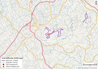 Lake Russell Recreation Area Open year-round Chattahoochee-Oconee National Forest |
72 | GA | $24–$48 | 41 | — | 65 ft | yes | Reserve | 7 (19.0 mi) |
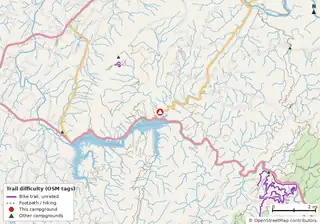 Parksville Lake rv Campground Cherokee National Forest |
95 | TN | — | 16 | E 30A | yes | yes | Reserve | 20 (35.2 mi) |
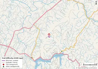 Chilhowee Campground Cherokee National Forest |
98 | TN | — | 59 | E 50A | 65 ft | yes | Reserve | 20 (25.9 mi) |
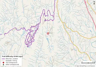 Pocket Campground Chattahoochee-Oconee National Forest |
70 | GA | $15 | 26 | — | 28 ft | yes | Reserve | 16 (50.9 mi) |
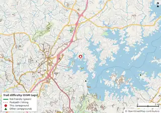 Bald Ridge Creek Lake Sidney Lanier |
36 | GA | — | 82 | E 50A W | 65 ft | yes | Reserve | 1 (0.6 mi) |
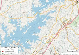 Old Federal Lake Sidney Lanier |
41 | GA | — | 84 | E 50A W | 64 ft | yes | Reserve | 0 |
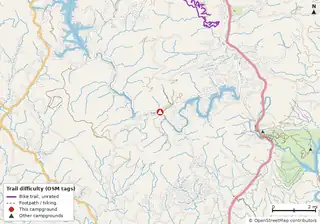 Lake Rabun Beach Recreation Area Chattahoochee-Oconee National Forest |
87 | GA | — | 75 | E 50A W | yes | yes | Reserve | 7 (13.9 mi) |
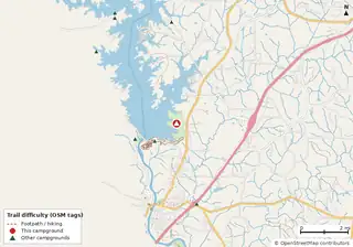 R Shaefer Heard West Point Lake |
72 | GA | — | 117 | E 50A W | 65 ft | yes | Reserve | 0 |
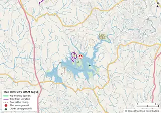 Woodring Branch Primitive Campground Open year-round Carters Lake |
62 | GA | $10 | 11 | — | — | yes | Reserve | 0 |
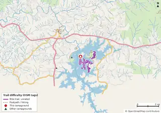 Jackrabbit Mountain National Forests in North Carolina |
94 | NC | — | 92 | — | 64 ft | yes | Reserve | 16 (24.9 mi) |
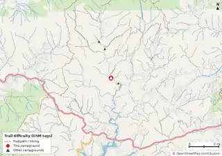 Tallulah River Campground Open year-round Chattahoochee-Oconee National Forest |
95 | GA | $15 | 16 | — | 65 ft | yes | Reserve | 3 (9.9 mi) |
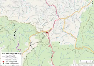 Vogel State Park Campground Cabins Vogel State Park |
75 | GA | $23–$50 (GA schedule) | 108 | — | yes | — | Reserve | 14 (41.6 mi) |
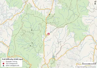 Andrew's Cove Campground Mar–Dec Chattahoochee-Oconee National Forest |
80 | GA | $12–$18 | 10 | — | 24 ft | yes | Reserve | 9 (25.7 mi) |
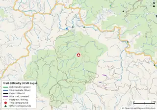 Frank Gross Campground Apr–Oct Chattahoochee-Oconee National Forest |
67 | GA | $8 | 8 | — | yes | yes | Reserve | 4 (44.5 mi) |
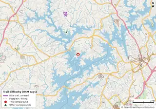 Duckett Mill Lake Sidney Lanier |
47 | GA | — | 111 | E 50A W | 60 ft | yes | Reserve | 0 |
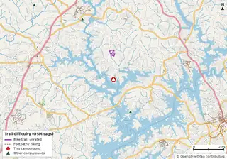 Bolding Mill Lake Sidney Lanier |
48 | GA | — | 97 | E 50A W | 65 ft | yes | Reserve | 0 |
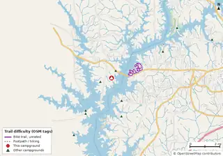 Holiday (Georgia) West Point Lake |
68 | GA | — | 130 | E 50A W | 65 ft | yes | Reserve | 0 |
| Amity ↗ West Point Lake |
72 | AL | — | 75 | E 50A W | 55 ft | yes | Reserve | n/a |
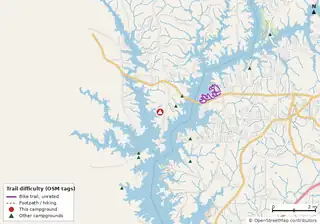 Whitetail Ridge West Point Lake |
68 | GA | — | 58 | E 50A W | 65 ft | yes | Reserve | 0 |
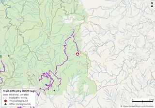 Jacks River Fields Campground Open year-round Chattahoochee-Oconee National Forest |
77 | GA | $5 | 7 | — | — | yes | First-come | 13 (56.8 mi) |
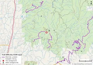 Lake Conasauga Overflow Campground Chattahoochee-Oconee National Forest |
78 | GA | $8 | 6 | — | 25 ft | yes | First-come | 18 (54.5 mi) |
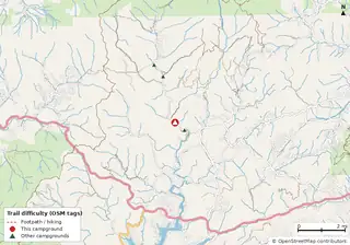 Low Gap Campground Mar–Dec Chattahoochee-Oconee National Forest |
95 | GA | $12 | 13 | — | 26 ft | yes | Reserve | 3 (9.8 mi) |
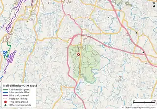 Chickamauga Battlefield Group Campground Chickamauga & Chattanooga National Military Park |
96 | GA | $20 | 9 | W | — | — | Reserve | 41 (35.5 mi) |
Hookups: E = electric (max amps), W = water, S = sewer. "—" means the agency doesn't publish it. Trail counts are named USFS/NPS trails within 5 miles. 🟢 = kid-friendly (green-rated) bike trail nearby. "Open year-round" and month ranges come from the agency, state park or OpenStreetMap season; no tag means no season is published.
Campgrounds without a page here link to their official page or OpenStreetMap listing (↗). How the data score works.
Other cities
Richmond · Roanoke · Charlottesville · Virginia Beach · Harrisonburg · Blacksburg · Lynchburg · Fredericksburg · Abingdon · Winchester · Washington · Norfolk · Charlotte · Raleigh · Asheville · Baltimore · Pittsburgh · Philadelphia · Nashville · Knoxville · Chattanooga · Charleston · Atlanta