Burns Lake Campground
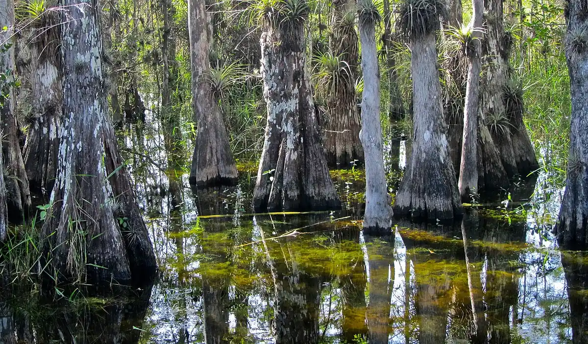
National Park Service campground in Big Cypress National Preserve, near Ochopee, Florida.
Summary
Burns Lake Campground is a National Park Service campground in Big Cypress National Preserve, about 64 miles (straight line) from Miami. The campground lists 14 overnight sites (including 6 tent-only sites), and it is open seasonally (about Aug to Apr). Sites are reservable on Recreation.gov; the largest accommodate RVs and trailers up to 50 ft.
When to book: Recreation.gov's default: most campsites open 6 months before arrival, at 10 a.m. ET, but each campground can set its own window (check its Seasons and Fees tab). Example: Labor Day weekend 2027 (arrive Fri, Sep 3, 2027): booking opens Wed, Mar 3, 2027, at 10 a.m. ET. Source: Recreation.gov: Tips for making campsite reservations at popular locations. Campsite booking-date calculator →
When it's open
Seasonal (approx Aug–Apr) Aug 16 – Apr 15
- NPS lists a seasonal closure ("Seasonal Closures") from Apr 16, 2027 to Aug 15, 2027.
Florida campgrounds open year-round →
Source: National Park Service, retrieved Oct 20, 2026. It says: “NPS operating hours: "Seasonal Closures" Apr 16, 2027 – Aug 15, 2027” Opening and closing dates can shift with weather and staffing.
Hookups & amenities
- 🚿ShowersNot listed
- 🚻ToiletsNot listed
- 🚰Drinking waterNot listed
- ⚡Electric hookupsNot listed
- 💧Water hookupsNot listed
- 🔧Sewer hookupsNot listed
- 🔌Full hookups (E/W/S)Not listed
- ↪Pull-through sites (8)Listed
- 🚐Dump stationNot listed
- 📶Wi-FiNot listed
- 🧺LaundryNot listed
- 🏪Camp storeNot listed
- 🛝PlaygroundNot listed
- 🏊SwimmingNot listed
- 🚤Boat rampNot listed
- 🐕Pet-friendlyListed
- ♿ADA-accessible sitesListed
- 🛖CabinsNot listed
- 🔥Fire ringsListed
- 🍖GrillsListed
- 🪑Picnic tablesListed
- 🧑Camp hostNot listed
- 🐻Food storage lockersNot listed
Listed only when Recreation.gov site records report it. "Not listed" means the source doesn't say, not that the campground lacks it.
Map: trails and roads near Burns Lake Campground
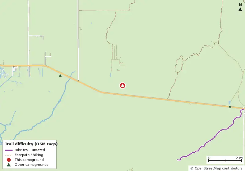
Loads MapLibre with OpenFreeMap tiles only when you tap.
Campsite layout
Check live availability on Recreation.gov ↗
We don't show live availability. Openings change by the minute and only the official reservation system has them.
How it compares
- With 14 sites it is the #78 largest of 94 Florida campgrounds that publish a site count (small and usually quieter).
- There are 26 other campgrounds in our data within 25 miles.
- 20% of Florida campgrounds that publish a length limit accept a rig this long (50 ft), so this is one of the better big-rig options.
- 100% of sites with a shade rating are listed as shaded or partly shaded.
- Pets allowed on 14 of 14 sites; campfires allowed on 14 (subject to seasonal fire bans).
- Straight-line distance: Miami ~64 mi, Tampa ~162 mi, Orlando ~184 mi.
Site mix
Amenities & rules
Fire pitsGrillsPicnic tablesQuiet areaPets allowedTentsRVs/trailers14 accessible sites
Trails near Burns Lake Campground
| Trail | Closest point | Mapped miles within 5 mi | Source |
|---|---|---|---|
| Burns Lake South | 1.1 mi | 4.2 | NPS |
| Skillet North | 2.8 mi | 3.9 | NPS |
| Turner River | 3.2 mi | 3.0 | NPS |
| Left Hand Skillet | 3.3 mi | 1.6 | NPS |
| Windmill Tram | 4.6 mi | 3.0 | NPS |
| Burns Lake North | 4.6 mi | 0.4 | NPS |
Mountain biking nearby
No bike-legal trails are mapped within 5 miles in OpenStreetMap or Forest Service data.
Trails marked OSM: © OpenStreetMap contributors (ODbL). Ratings come only from OpenStreetMap mtb:scale / IMBA tags. Untagged trails show as "Unrated", and we never guess. Check conditions and maps on Trailforks or MTB Project.
Dump stations near Burns Lake Campground
| Public dump station (OpenStreetMap) | Distance | Fee | Water | Access |
|---|---|---|---|---|
| Dump station (unnamed in OSM) | 14.5 mi | Not listed | No | Customers |
| Dump station (unnamed in OSM) | 24.6 mi | Not listed | Not listed | Not listed |
| Dump station (unnamed in OSM) | 24.6 mi | Not listed | Not listed | Not listed |
Nearby campgrounds with an on-site dump station: Outdoor Resorts of Chokoloskee (9.8 mi). Many limit dumping to registered guests.
Straight-line distances. Dump station points: © OpenStreetMap contributors (ODbL); fees, hours and access change, so confirm before you go.
Activities listed
Auto TouringBikingBoatingCampingFishingHikingHistoric & Cultural SiteHuntingPaddlingPicnickingWildlife Viewing
Nearest campgrounds
| Campground | Miles | State | Fee/night | Sites | Hookups | Max RV | Pets | Booking | Trails ≤5 mi |
|---|---|---|---|---|---|---|---|---|---|
| Trail Lakes Campgrounds OpenStreetMap listing |
3.8 | FL | — | — | — | — | — | ? | 6 (19.9 mi) |
| Sunday Bay Chickadee #1 OpenStreetMap listing |
6.6 | FL | $21 permit + $2/person/night | — | — | — | — | Permit | 4 (28.6 mi) |
| Monument Lake Campground Aug–Apr Big Cypress National Preserve |
6.6 | FL | — | 38 | — | 45 ft | yes | Reserve | 8 (26.2 mi) |
| Crooked Creek Chickee National Park Service |
7.8 | FL | $21 permit + $2/person/night | — | — | — | — | Permit | 4 (33.8 mi) |
| Lopez River Campsite National Park Service |
8.6 | FL | $21 permit + $2/person/night | — | — | — | — | Permit | 4 (32.1 mi) |
| Sweetwater Chickadee #2 National Park Service |
9.6 | FL | $21 permit + $2/person/night | — | — | — | — | Permit | 3 (18.2 mi) |
Hookups: E = electric (max amps), W = water, S = sewer. "—" means the agency doesn't publish it. Trail counts are named USFS/NPS trails within 5 miles. 🟢 = kid-friendly (green-rated) bike trail nearby. "Open year-round" and month ranges come from the agency, state park or OpenStreetMap season; no tag means no season is published.