Best campgrounds near Orlando, FL
211 campgrounds (federal, state park and other) lie within 100 miles (straight line) of downtown Orlando. Ranked by our data score minus a distance penalty (0.25 pts per mile), not by ads.
Orlando has 17 campgrounds within 25 miles and 82 within 50; widen the radius to 100 miles and the count reaches 211 (74 at 50–75 mi, 55 at 75–100 mi). The closest is Wekiwa Springs State Park Campground, about 13 miles away. Distances are straight-line; driving distances are longer, especially in the mountains.
Top picks within 50 miles of Orlando
- Alexander Springs Recreation Area (39 mi): 64 sites, 8 named trails within 5 mi, reservable.
- Lake Dorr Campground (36 mi): 34 sites, 8 named trails within 5 mi, reservable.
- Juniper Springs Rec Area (49 mi): 79 sites, 4 named trails within 5 mi, reservable.
Best near Orlando for…
- Mountain biking: Ross Prairie Campground and Trailhead (65 mi): 32.9 mi of bike-legal trail within 5 miles, 32.8 mi of it difficulty-rated, including 21.8 mi of green (kid-friendly) trail.
- Cabins: Lake Louisa State Park Campground (22 mi): the closest campground with cabins (Florida State Parks park page); 5 campgrounds with cabins are within 50 miles.
- Big RVs: Salt Springs Recreation Area (60 mi): takes rigs up to 40 ft with full hookups.
Picks use our data score with a distance penalty. Every reason above comes from the campground's listed data.
Within 100 miles: 113 rv-friendly campgrounds · 56 tent campgrounds · 9 free campgrounds · 13 pet-friendly campgrounds · 28 campgrounds with water hookups · 43 campgrounds with electric hookups · 6 big-rig campgrounds (40 ft+) · 72 campgrounds near mountain bike trails · 7 campgrounds with cabins · 16 campgrounds with showers · 11 full-hookup campgrounds · 20 campgrounds with 50-amp hookups · 3 campgrounds with pull-through sites · 15 campgrounds with a dump station · 16 campgrounds with wi-fi · 3 first-come, first-served campgrounds.
| Campground | Miles | State | Fee/night | Sites | Hookups | Max RV | Pets | Booking | Trails ≤5 mi |
|---|---|---|---|---|---|---|---|---|---|
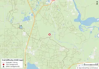 Alexander Springs Recreation Area National Forests in Florida |
39 | FL | — | 64 | — | 44 ft | yes | Reserve | 8 (62.3 mi) |
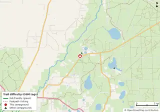 Fore Lake Campground National Forests in Florida |
60 | FL | $20 | 31 | E 30A | 25 ft | yes | Reserve | 4 (23.1 mi) |
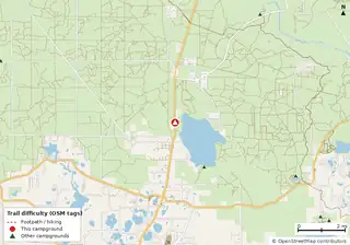 Lake Dorr Campground National Forests in Florida |
36 | FL | — | 34 | — | — | yes | Reserve | 8 (99.7 mi) |
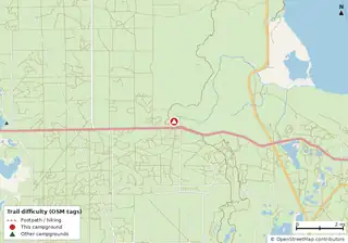 Juniper Springs Rec Area National Forests in Florida |
49 | FL | — | 79 | — | 45 ft | yes | Reserve | 4 (31.4 mi) |
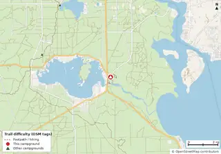 Salt Springs Recreation Area National Forests in Florida |
60 | FL | — | 146 | E 50A W S | 40 ft | yes | Reserve | 9 (30.9 mi) |
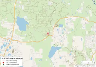 Clearwater Lake Rec Area National Forests in Florida |
32 | FL | — | 38 | — | 40 ft | yes | Reserve | 5 (42.5 mi) |
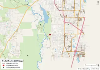 Blue Spring State Park Campground Cabins Blue Spring State Park |
28 | FL | $24 | 50 | E 50A W | yes | — | Reserve | 0 |
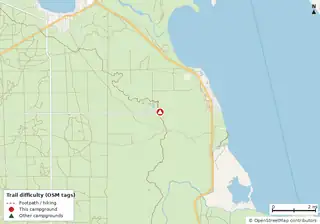 Hopkins Prairie Campground National Forests in Florida |
54 | FL | — | 20 | — | yes | yes | Reserve | 5 (20.7 mi) |
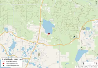 Lake Dorr Cabin Cabins Open year-round National Forests in Florida |
34 | FL | — | — | E | — | — | Reserve | 7 (79.1 mi) |
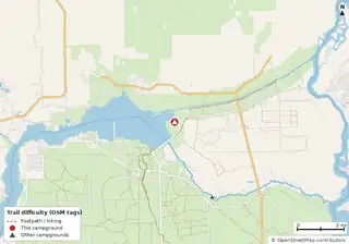 Marjorie Harris Carr Cross Florida Greenways State Recreation and Conservation Area Campground Marjorie Harris Carr Cross Florida Greenways State Recreation and Conservation Area |
72 | FL | $16–$42 (FL schedule) | 156 | E 50A W S | yes | — | Reserve | 15 (32.0 mi) |
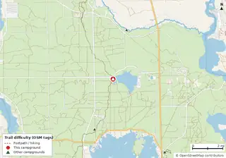 Lake Delancy West Campground National Forests in Florida |
66 | FL | — | 120 | — | — | yes | Reserve | 34 (99.6 mi) |
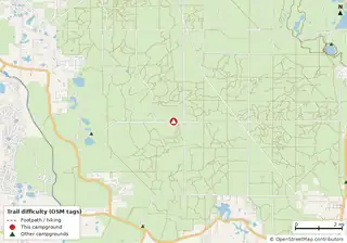 Big Scrub Campground National Forests in Florida |
42 | FL | $20–$22 | 47 | — | 40 ft | — | Reserve | 7 (58.7 mi) |
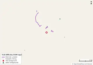 Wekiwa Springs State Park Campground Wekiwa Springs State Park |
13 | FL | $24 | 65 | E 50A W S | yes | — | Reserve | 0 |
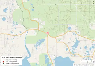 Big Bass Campground National Forests in Florida |
39 | FL | — | 19 | — | — | yes | Reserve | 2 (23.7 mi) |
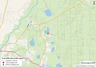 Lake Eaton Campground National Forests in Florida |
58 | FL | — | 14 | — | — | yes | Reserve | 4 (33.5 mi) |
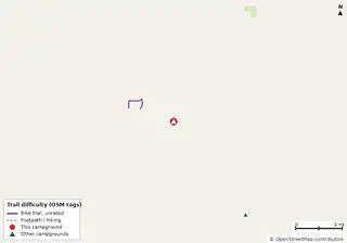 Lake Louisa State Park Campground Cabins Lake Louisa State Park |
22 | FL | $24 | 66 | E 50A W S | yes | — | Reserve | 0 |
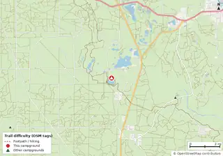 Buck Lake Group Campground National Forests in Florida |
42 | FL | — | — | — | 40 ft | yes | Reserve | 10 (65.9 mi) |
 Lake Kissimmee State Park Campground Closed Closure noted Lake Kissimmee State Park |
41 | FL | $20 | 66 | E 30A W | yes | — | Reserve | 0 |
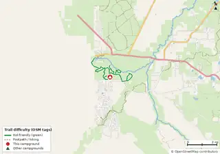 Silver Springs State Park Campground Cabins Silver Springs State Park |
60 | FL | $24 | 60 | E 50A W S | yes | — | Reserve | 1 (6.0 mi) |
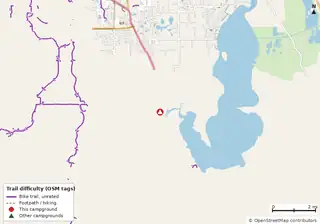 Lake Griffin State Park Campground Lake Griffin State Park |
39 | FL | $18 | 40 | E 50A W S | yes | — | Reserve | 0 |
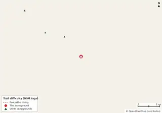 Colt Creek State Park Campground Colt Creek State Park |
44 | FL | $24 | 39 | E 50A W S | yes | — | Reserve | 0 |
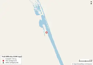 Tomoka State Park Campground Tomoka State Park |
58 | FL | $24 | 101 | E 50A W S | yes | — | Reserve | 0 |
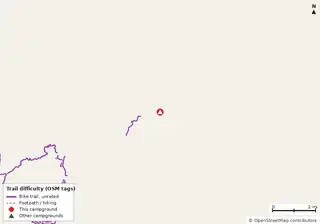 Hillsborough River State Park Campground Hillsborough River State Park |
59 | FL | $24 | 110 | E 50A W | yes | — | Reserve | 0 |
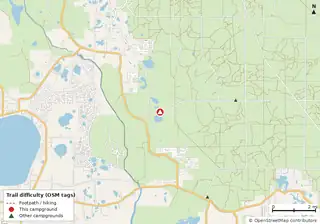 Doe Lake Group Site National Forests in Florida |
44 | FL | — | — | E W | yes | — | Reserve | 5 (32.7 mi) |
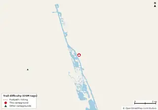 Gamble Rogers Memorial State Recreation Area at Flagler Beach Campground Gamble Rogers Memorial State Recreation Area at Flagler Beach |
64 | FL | $28 | 68 | E 50A W S | yes | — | Reserve | 0 |
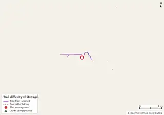 Highlands Hammock State Park Campground Closed Closure noted Highlands Hammock State Park |
74 | FL | $18–$22 | 158 | E 50A W | yes | — | Reserve | 0 |
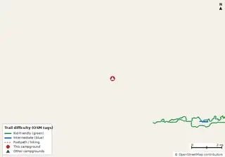 Rainbow Springs State Park Campground Rainbow Springs State Park |
74 | FL | $16–$42 (FL schedule) | 60 | E 50A W S | yes | — | Reserve | 0 |
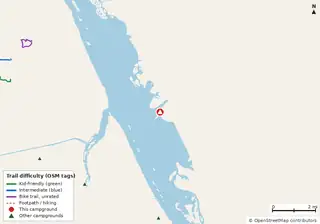 Sebastian Inlet State Park Campground Sebastian Inlet State Park |
74 | FL | $28 | 59 | E 50A W | yes | — | Reserve | 0 |
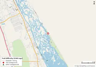 Canaveral National Seashore Permits Canaveral National Seashore |
43 | FL | $25 | 14 | — | — | yes | Reserve | 7 (4.1 mi) |
 Kissimmee Prairie Preserve State Park Campground Kissimmee Prairie Preserve State Park |
69 | FL | $16 | 35 | E 50A W | yes | — | Reserve | 0 |
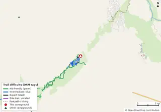 Santos Campground Open year-round Florida State Parks (FL DEP) |
58 | FL | $22 | 23 | E W | yes | — | Reserve | 0 |
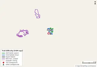 Alafia River State Park Campground Alafia River State Park |
70 | FL | $22 | 30 | E 50A W | yes | — | Reserve | 0 |
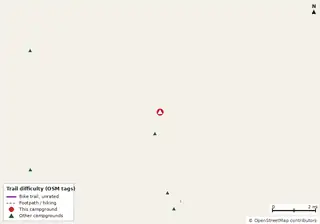 Anastasia State Park Campground Anastasia State Park |
92 | FL | $28 | 139 | E 50A W | yes | — | Reserve | 1 (0.6 mi) |
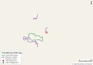 Paynes Prairie Preserve State Park Campground Paynes Prairie Preserve State Park |
88 | FL | $18 | 53 | E 50A W S | yes | — | Reserve | 0 |
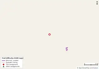 Faver-Dykes State Park Campground Faver-Dykes State Park |
78 | FL | $18 | 30 | E 30A W | 35 ft | — | Reserve | 2 (0.6 mi) |
 Lake Manatee State Park Campground Lake Manatee State Park |
94 | FL | $22 | 60 | E 30A W | yes | — | Reserve | 0 |
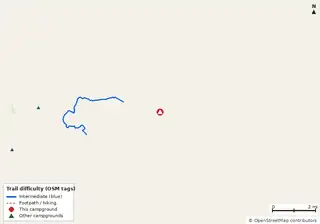 Mike Roess Gold Head Branch State Park Campground Cabins Mike Roess Gold Head Branch State Park |
96 | FL | $20 | 71 | E 50A W | yes | — | Reserve | 0 |
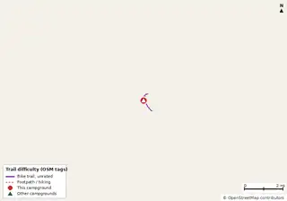 Little Manatee River State Park Campground Little Manatee River State Park |
86 | FL | $22 | 35 | E 50A W | yes | — | Reserve | 0 |
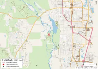 Hontoon Island State Park Campground Cabins Hontoon Island State Park |
30 | FL | $25 | 12 | — | — | — | Reserve | 2 (3.0 mi) |
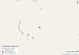 Rock Springs Run State Reserve Campground Rock Springs Run State Reserve |
14 | FL | $5 per person (primitive) | 3 | W S | — | — | Reserve | 0 |
Hookups: E = electric (max amps), W = water, S = sewer. "—" means the agency doesn't publish it. Trail counts are named USFS/NPS trails within 5 miles. 🟢 = kid-friendly (green-rated) bike trail nearby. "Open year-round" and month ranges come from the agency, state park or OpenStreetMap season; no tag means no season is published.
Campgrounds without a page here link to their official page or OpenStreetMap listing (↗). How the data score works.
Other cities
Richmond · Roanoke · Charlottesville · Virginia Beach · Harrisonburg · Blacksburg · Lynchburg · Fredericksburg · Abingdon · Winchester · Washington · Norfolk · Charlotte · Raleigh · Asheville · Baltimore · Pittsburgh · Philadelphia · Nashville · Knoxville · Chattanooga · Charleston · Atlanta · Orlando · Tampa · Jacksonville · Miami · Pensacola · Tallahassee
Data reports: Report: campgrounds near mountain bike trails in 8 states · Report: big RV campgrounds by state (35 ft+ and hookups) · all reports