Twin Poles
Campground (listed in OpenStreetMap), Florida.
Summary
Located about 41 miles (straight line) from Tallahassee, Twin Poles is listed in OpenStreetMap. Our data lists 45 other campgrounds within 25 miles.
When it's open
Season not listed
Florida campgrounds open year-round →
Neither OpenStreetMap nor our other sources publish an open season for this campground, so we don't guess. Call ahead before an off-season trip.
Hookups & amenities
- 🚿ShowersNot listed
- 🚻ToiletsNot listed
- 🚰Drinking waterNot listed
- ⚡Electric hookupsNot listed
- 💧Water hookupsNot listed
- 🔧Sewer hookupsNot listed
- 🔌Full hookups (E/W/S)Not listed
- 🚐Dump stationNot listed
- 📶Wi-FiNot listed
- 🧺LaundryNot listed
- 🏪Camp storeNot listed
- 🛝PlaygroundNot listed
- 🏊SwimmingNot listed
- 🚤Boat rampNot listed
- 🐕Pet-friendlyNot listed
- ♿ADA-accessible sitesNot listed
- 🛖CabinsNot listed
- 🔥Fire ringsNot listed
- 🍖GrillsNot listed
- 🪑Picnic tablesNot listed
- 🧑Camp hostNot listed
- 🐻Food storage lockersNot listed
Listed only when OpenStreetMap report it. "Not listed" means the source doesn't say, not that the campground lacks it.
Map: trails and roads near Twin Poles
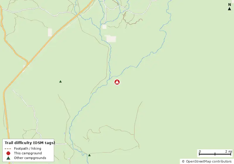
Loads MapLibre with OpenFreeMap tiles only when you tap.
How it compares
- There are 45 other campgrounds in our data within 25 miles.
- Straight-line distance: Tallahassee ~41 mi, Pensacola ~141 mi, Jacksonville ~192 mi.
Amenities & rules
The agency hasn't published an amenity list for this campground.
Trails near Twin Poles
| Trail | Closest point | Mapped miles within 5 mi | Source |
|---|---|---|---|
| Fnst - Apalach Section | 3.7 mi | 4.7 | USFS |
Mountain biking nearby
No bike-legal trails are mapped within 5 miles in OpenStreetMap or Forest Service data.
Trails marked OSM: © OpenStreetMap contributors (ODbL). Ratings come only from OpenStreetMap mtb:scale / IMBA tags. Untagged trails show as "Unrated", and we never guess. Check conditions and maps on Trailforks or MTB Project.
Nearest campgrounds
| Campground | Miles | State | Fee/night | Sites | Hookups | Max RV | Pets | Booking | Trails ≤5 mi |
|---|---|---|---|---|---|---|---|---|---|
| Cliff Lake OpenStreetMap listing |
3.6 | FL | — | — | — | — | — | ? | 0 |
| Magnolia Landing OpenStreetMap listing |
5.0 | FL | — | — | — | — | — | ? | 0 |
| Sumatra Camp OpenStreetMap listing |
7.9 | FL | — | — | — | — | — | ? | 0 |
| Harper's Camp OpenStreetMap listing |
8.0 | FL | — | — | — | — | — | ? | 0 |
| North Road Camp OpenStreetMap listing |
9.2 | FL | — | — | — | — | — | ? | 0 |
| Boundary Road Camp OpenStreetMap listing |
10.4 | FL | — | — | — | — | — | ? | 0 |
Hookups: E = electric (max amps), W = water, S = sewer. "—" means the agency doesn't publish it. Trail counts are named USFS/NPS trails within 5 miles. 🟢 = kid-friendly (green-rated) bike trail nearby. "Open year-round" and month ranges come from the agency, state park or OpenStreetMap season; no tag means no season is published.