Best campgrounds near Jacksonville, FL
153 campgrounds (federal, state park and other) lie within 100 miles (straight line) of downtown Jacksonville. Ranked by our data score minus a distance penalty (0.25 pts per mile), not by ads.
Jacksonville has 9 campgrounds within 25 miles and 47 within 50; widen the radius to 100 miles and the count reaches 153 (42 at 50–75 mi, 64 at 75–100 mi). The closest is Sunny Oaks RV Park, about 7 miles away. Distances are straight-line; driving distances are longer, especially in the mountains.
Top picks within 50 miles of Jacksonville
- Ocean Pond Campground (47 mi): 65 sites, electric hookups up to 50 A, showers, 5 named trails within 5 mi.
- Cumberland Island National Seashore Camping Permits (28 mi, GA): 44 sites, showers, 2 named trails within 5 mi, reservable.
- Fort Clinch State Park Campground (28 mi): 62 sites, electric hookups up to 50 A, showers, 12 named trails within 5 mi.
Best near Jacksonville for…
- Mountain biking: Paynes Prairie Preserve State Park Campground (68 mi): 17.3 mi of bike-legal trail within 5 miles, 6.7 mi of it difficulty-rated, including 6.7 mi of green (kid-friendly) trail.
- Cabins: KOA Holiday (29 mi): the closest campground with cabins (OpenStreetMap cabins tag); 5 campgrounds with cabins are within 50 miles.
- Big RVs: Ocean Pond Campground (47 mi): takes rigs up to 60 ft with electric hookups up to 50 A.
Picks use our data score with a distance penalty. Every reason above comes from the campground's listed data.
Within 100 miles: 88 rv-friendly campgrounds · 47 tent campgrounds · 7 free campgrounds · 14 pet-friendly campgrounds · 23 campgrounds with water hookups · 39 campgrounds with electric hookups · 8 big-rig campgrounds (40 ft+) · 33 campgrounds near mountain bike trails · 16 campgrounds with cabins · 18 campgrounds with showers · 9 full-hookup campgrounds · 18 campgrounds with 50-amp hookups · 4 campgrounds with pull-through sites · 11 campgrounds with a dump station · 16 campgrounds with wi-fi · 0 first-come, first-served campgrounds.
| Campground | Miles | State | Fee/night | Sites | Hookups | Max RV | Pets | Booking | Trails ≤5 mi |
|---|---|---|---|---|---|---|---|---|---|
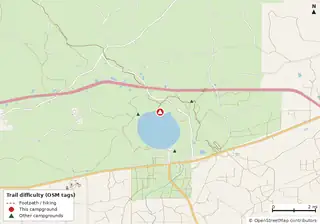 Ocean Pond Campground National Forests in Florida |
47 | FL | — | 65 | E 50A W | 60 ft | yes | Reserve | 5 (12.7 mi) |
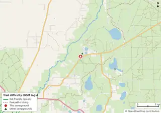 Fore Lake Campground National Forests in Florida |
75 | FL | $20 | 31 | E 30A | 25 ft | yes | Reserve | 4 (23.1 mi) |
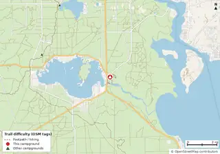 Salt Springs Recreation Area National Forests in Florida |
68 | FL | — | 146 | E 50A W S | 40 ft | yes | Reserve | 9 (30.9 mi) |
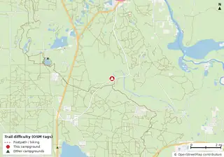 Alexander Springs Recreation Area National Forests in Florida |
87 | FL | — | 64 | — | 44 ft | yes | Reserve | 8 (62.3 mi) |
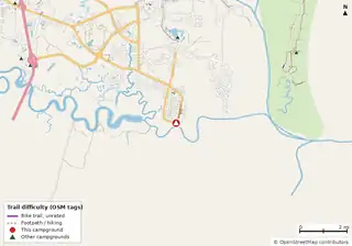 Cumberland Island National Seashore Camping Permits Open year-round Cumberland Island National Seashore |
28 | GA | $9–$22 | 44 | — | — | — | Reserve | 2 (7.9 mi) |
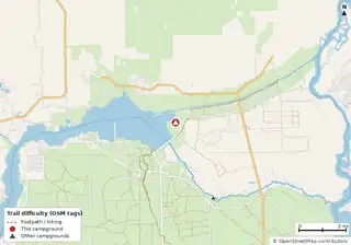 Marjorie Harris Carr Cross Florida Greenways State Recreation and Conservation Area Campground Marjorie Harris Carr Cross Florida Greenways State Recreation and Conservation Area |
57 | FL | $16–$42 (FL schedule) | 156 | E 50A W S | yes | — | Reserve | 15 (32.0 mi) |
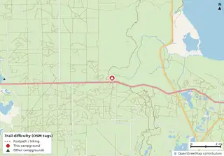 Juniper Springs Rec Area National Forests in Florida |
80 | FL | — | 79 | — | 45 ft | yes | Reserve | 4 (31.4 mi) |
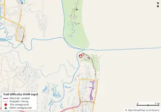 Fort Clinch State Park Campground Fort Clinch State Park |
28 | FL | $26 | 62 | E 50A W | yes | — | Reserve | 12 (12.2 mi) |
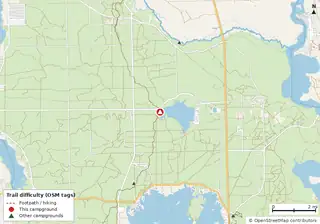 Lake Delancy West Campground National Forests in Florida |
63 | FL | — | 120 | — | — | yes | Reserve | 34 (99.6 mi) |
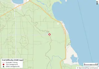 Hopkins Prairie Campground National Forests in Florida |
73 | FL | — | 20 | — | yes | yes | Reserve | 5 (20.7 mi) |
 Little Talbot Island State Park Campground Little Talbot Island State Park |
16 | FL | $24 | 39 | E 30A W | yes | — | Reserve | 2 (3.2 mi) |
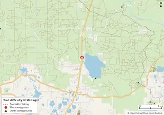 Lake Dorr Campground National Forests in Florida |
91 | FL | — | 34 | — | — | yes | Reserve | 8 (99.7 mi) |
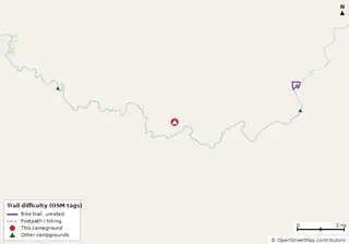 Stephen Foster Folk Culture Center State Park Campground Cabins Stephen Foster Folk Culture Center State Park |
67 | FL | $20 | 47 | E 50A W | yes | — | Reserve | 0 |
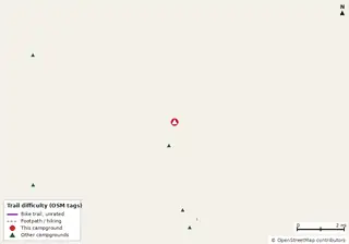 Anastasia State Park Campground Anastasia State Park |
39 | FL | $28 | 139 | E 50A W | yes | — | Reserve | 1 (0.6 mi) |
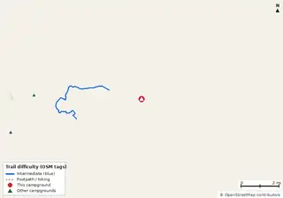 Mike Roess Gold Head Branch State Park Campground Cabins Mike Roess Gold Head Branch State Park |
39 | FL | $20 | 71 | E 50A W | yes | — | Reserve | 0 |
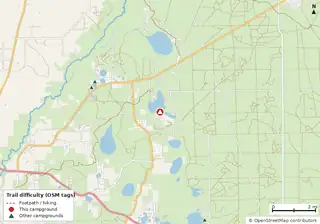 Lake Eaton Campground National Forests in Florida |
76 | FL | — | 14 | — | — | yes | Reserve | 4 (33.5 mi) |
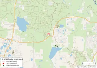 Clearwater Lake Rec Area National Forests in Florida |
94 | FL | — | 38 | — | 40 ft | yes | Reserve | 5 (42.5 mi) |
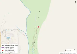 Stafford OpenStreetMap listing |
35 | GA | — | 50 | — | — | — | Reserve | 25 (27.4 mi) |
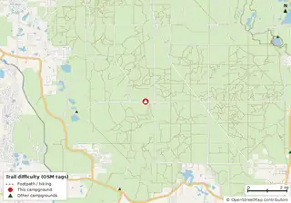 Big Scrub Campground National Forests in Florida |
89 | FL | $20–$22 | 47 | — | 40 ft | — | Reserve | 7 (58.7 mi) |
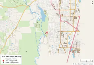 Blue Spring State Park Campground Cabins Blue Spring State Park |
98 | FL | $24 | 50 | E 50A W | yes | — | Reserve | 0 |
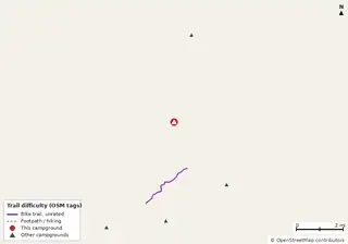 O'Leno State Park Campground O'Leno State Park |
63 | FL | $18 | 64 | E 50A W | yes | — | Reserve | 0 |
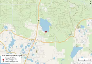 Lake Dorr Cabin Cabins Open year-round National Forests in Florida |
93 | FL | — | — | E | — | — | Reserve | 7 (79.1 mi) |
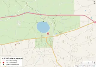 Group Landing National Forests in Florida |
47 | FL | — | — | E 50A W | 40 ft | yes | Reserve | 5 (10.3 mi) |
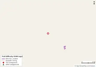 Faver-Dykes State Park Campground Faver-Dykes State Park |
52 | FL | $18 | 30 | E 30A W | 35 ft | — | Reserve | 2 (0.6 mi) |
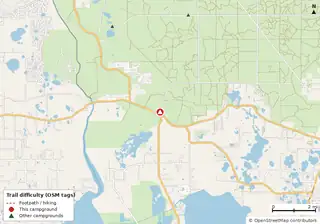 Big Bass Campground National Forests in Florida |
93 | FL | — | 19 | — | — | yes | Reserve | 2 (23.7 mi) |
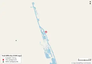 Gamble Rogers Memorial State Recreation Area at Flagler Beach Campground Gamble Rogers Memorial State Recreation Area at Flagler Beach |
70 | FL | $28 | 68 | E 50A W S | yes | — | Reserve | 0 |
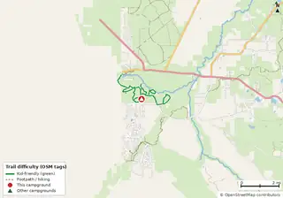 Silver Springs State Park Campground Cabins Silver Springs State Park |
82 | FL | $24 | 60 | E 50A W S | yes | — | Reserve | 1 (6.0 mi) |
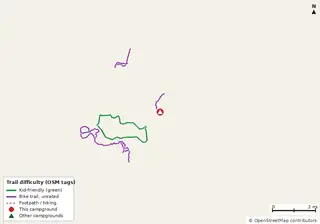 Paynes Prairie Preserve State Park Campground Paynes Prairie Preserve State Park |
68 | FL | $18 | 53 | E 50A W S | yes | — | Reserve | 0 |
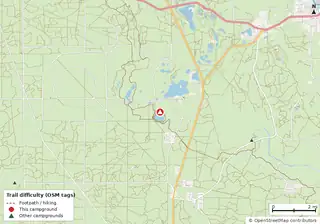 Buck Lake Group Campground National Forests in Florida |
85 | FL | — | — | — | 40 ft | yes | Reserve | 10 (65.9 mi) |
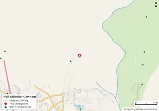 Crooked River State Park Campground Cabins Crooked River State Park |
36 | GA | $23–$50 (GA schedule) | 63 | — | yes | — | Reserve | 1 (0.7 mi) |
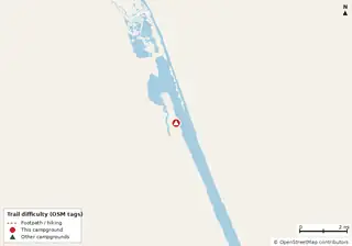 Tomoka State Park Campground Tomoka State Park |
77 | FL | $24 | 101 | E 50A W S | yes | — | Reserve | 0 |
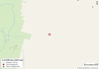 Okefenokee State Park Campground Cabins Okefenokee State Park |
38 | GA | $23–$50 (GA schedule) | 52 | — | yes | — | Reserve | 0 |
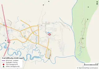 Eagle Hammock RV Park Private Private RV park |
31 | GA | — | — | E | yes | — | ? | 4 (9.0 mi) |
 Ruth B. Kirby Gilchrist Blue Springs State Park Campground Ruth B. Kirby Gilchrist Blue Springs State Park |
71 | FL | $16–$42 (FL schedule) | 25 | E 30A W | yes | — | Reserve | 0 |
 Manatee Springs State Park Campground Manatee Springs State Park |
98 | FL | $20 | 83 | E 50A W S | yes | — | Reserve | 0 |
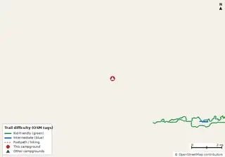 Rainbow Springs State Park Campground Rainbow Springs State Park |
98 | FL | $16–$42 (FL schedule) | 60 | E 50A W S | yes | — | Reserve | 0 |
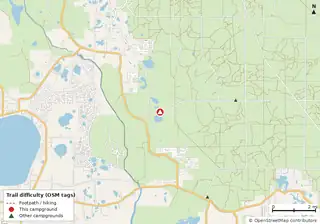 Doe Lake Group Site National Forests in Florida |
90 | FL | — | — | E W | yes | — | Reserve | 5 (32.7 mi) |
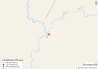 Suwannee River State Park Campground Closed Cabins Closure noted Suwannee River State Park |
90 | FL | $22 | 33 | E 50A W S | yes | — | Reserve | 0 |
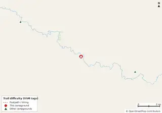 Woods Ferry River Camp Florida State Parks |
72 | FL | Free | — | E | — | — | Reserve | 0 |
 Laura S. Walker State Park Campground Cabins Laura S. Walker State Park |
65 | GA | $23–$50 (GA schedule) | 44 | — | yes | — | Reserve | 0 |
Hookups: E = electric (max amps), W = water, S = sewer. "—" means the agency doesn't publish it. Trail counts are named USFS/NPS trails within 5 miles. 🟢 = kid-friendly (green-rated) bike trail nearby. "Open year-round" and month ranges come from the agency, state park or OpenStreetMap season; no tag means no season is published.
Campgrounds without a page here link to their official page or OpenStreetMap listing (↗). How the data score works.
Other cities
Richmond · Roanoke · Charlottesville · Virginia Beach · Harrisonburg · Blacksburg · Lynchburg · Fredericksburg · Abingdon · Winchester · Washington · Norfolk · Charlotte · Raleigh · Asheville · Baltimore · Pittsburgh · Philadelphia · Nashville · Knoxville · Chattanooga · Charleston · Atlanta · Orlando · Tampa · Jacksonville · Miami · Pensacola · Tallahassee
Data reports: Report: campgrounds near mountain bike trails in 8 states · Report: big RV campgrounds by state (35 ft+ and hookups) · all reports